Zoning & Floodplain Administrator
Kristen Leahy
802-472-1686
zoning.administrator@hardwickvt.gov
Fall 2026 Office Hours
| Monday – 11 am to 1 pm Tuesday – 8:30 am to 2 pm Wednesday – 9:30 am to 2 pm Thursday – 8:30 am to 2 pm Friday – By Appointment Saturday – By Appointment The Zoning Office will be closed from 11/6/26 to 12/6/26 for medical leave. | |
| Outside of daily stated hours, by appointment. |
NEWS
-
Holding Water: Wetlands, Floodplains, and Natural Flood Storage
Wednesday, September 16 | 6:00–7:30 p.m.Parker Ladd Community Room, Jeudevine Memorial Library What makes wetlands and floodplains such important parts of a watershed? Wetlands and floodplains are places where water and land come together. They hold and slow water, provide habitat for plants and wildlife, influence water quality, and connect our uplands, streams, and rivers.…
-
East Hardwick Demolition work and Road Closure
East Church Street demolition work in East Hardwick is now scheduled to begin Sunday, September 13. Abatement work at 52 East Church Street will be wrapping up this week, with demolition of 40 and 52 East Church Street buyout properties expected to begin next Sunday. At least one lane of traffic on this section of…
-
North Main Street Stormwater System Repairs — Request for Bids
The Town of Hardwick is seeking bids from qualified contractors to repair flood damage to the North Main Street Stormwater System at 64 North Main Street. The system was constructed in 2022 and damaged by riverine flooding in July 2024. The project is funded in part through the FEMA Public Assistance Program. The work includes…
-
When Hillsides Move
Landslides and the Start of the Watershed Story Wednesday, September 96:00–7:30 p.m.Parker Ladd Community RoomJeudevine Memorial Library What happens when a hillside becomes part of the river? Join Vermont Geological Survey geologists Emma Myrick and Ben DeJong for a conversation about landslides, slope instability, and what the geology beneath our feet can tell us about…
-
Strategic Wood Addition with Jud Kratzer
Ever wonder why some rivers naturally slow down floodwaters, create better fish habitat, and become more resilient over time? Join the Town of Hardwick for a presentation with fisheries biologist Jud Kratzer of the Vermont Fish & Wildlife Department as he explores the role of large wood in healthy river systems. Learn how strategically placed…
-
Residents Join Site Visit for Future Floodplain Restoration Project
More than 20 residents, Town staff, project partners, and supporters joined a site visit Friday afternoon at the future Lamoille River confluence floodplain restoration project. SLR, the Town’s project consultant, led participants through the site to discuss its history, findings from recent flood modeling, and plans for restoring floodplain function along this section of the…
-
Help Shape the Future of the Jackson Dam Project
The Town of Hardwick, Hardwick Electric Department, and the Caledonia County Natural Resources Conservation District are inviting residents, property owners, businesses, and anyone with an interest in the Jackson Dam project to participate in a community survey. As the project moves from feasibility into the next phase of engineering and planning, community input will help…
-
Public Site Visit – Confluence Floodplain Restoration Project
Friday, August 142:00 p.m. Join the Town of Hardwick and SLR Consulting for a public walking tour of the Confluence Floodplain Restoration Project. This is not a formal presentation. Instead, participants will have the opportunity to walk the project area with the engineering team, view the site firsthand, and discuss the project in the landscape…
-
Invitation to Bid: NRCS EWP Bank Stabilization Project
Posted: July 23, 2026 The Town of Hardwick is seeking qualified contractors to submit bids for the NRCS Emergency Watershed Protection (EWP) Bank Stabilization Project. The project includes bank stabilization work at three locations along Cooper Brook and the Lamoille River within the Town of Hardwick. Project Schedule Bid documents available: Thursday, July 23, 2026…
-
Atkins Neighborhood Conversations – Flood Insurance
Residents gathered Monday evening for the latest Atkins Neighborhood Conversation to discuss flood insurance with Mary Block, Deputy Commissioner of Insurance with the Vermont Department of Financial Regulation. Hosted by the Town of Hardwick in partnership with the Center for an Agricultural Economy (CAE), the evening gave residents an opportunity to ask questions in an…
PLANS & STUDIES
TOWN PLANS & STUDIES
Town Forest Recreation Plan – 2018
Hardwick Municipal Plan – 2019
Hardwick Municipal Plan Maps – 2019
Ecological Inventory – 2024
Enabling Better Places – A Zoning Guide for Vermont Neighborhoods – 2020 (State of Vermont)
Designated Downtown Map – 2023
South Main Street, Hardwick Audit – 2024
Original LVRT Loop Proposal Recommendations – Spring 2023
LVRT Loop Recommendations – 2024
Hardwick – LVRT Connector Loop Proposal by Local Motion – 2022
Updated Recommendations to the original Summer 2020 list – 2024
Landslide Inventory of Caledonia County Vermont (Includes Hardwick) – 2021
AARP WALKABILITY STUDIES (SIDEWALK REVIEWS)
South Main Street, Hardwick Walkability Audit from the Hardwick Planning Commission – 2024
Wolcott Street, Hardwick Walkability Audit from the Hardwick Planning Commission – 2024
Mill Street, Hardwick Walkability Audit from the Hardwick Planning Commission – 2021
Main Street, Hardwick Walkability Audit from the Hardwick Planning Commission – 2021
West Church Street, Hardwick Walkability Audit from the Hardwick Planning Commission – 2021
VHB – MILL STREET & MAIN STREET SCOPING STUDY – SUMMER/WINTER 2025
Local Concerns Meeting Flyer – Mill Street and Main Street – August 13, 2025
Concepts Presentation Invitation – Mill Street and Main Street – November 5, 2025
Presentation Slides for the November 5, 2025 Mill Street and Main Street Draft Concepts meeting
Overview of Concepts for November 5, 2025 Mill Street and Main Street scoping study presentation
HCTV recording link – 11-5-25
Overview of final plan from the January 7, 2026 Mill Street and Main Street scoping study
*Final Plan – Mill Street to Main Street Scoping – Adopted by the Hardwick Select Board on 4-9-26
COMMUNITY PLANNING FORUM (Bylaw Modernization Grant Process)
November 14, 2023 Community Planning Forum Slides
September 28, 2023 Community Planning Forum slides
WETLANDS
Lauren Sopher, MS., District Wetlands Ecologist in the Department of Environmental Conservation of the Vermont Agency of Natural Resources ~ 802-798-6634 ~ Lauren.Sopher@Vermont.gov
Lauren Sopher is our contact for the Wetlands Program for Caledonia and Essex Counties. The Zoning Office has business cards for Lauren but we encourage you to request a site visit or a site review online. The existing project inquiry form is found here: Wetland Inquiry Form. The new project inquiry form is found here: New Wetland Inquiry. Additionally, here is a helpful snippet from Lauren about wetlands:
Understanding Vermont Wetlands
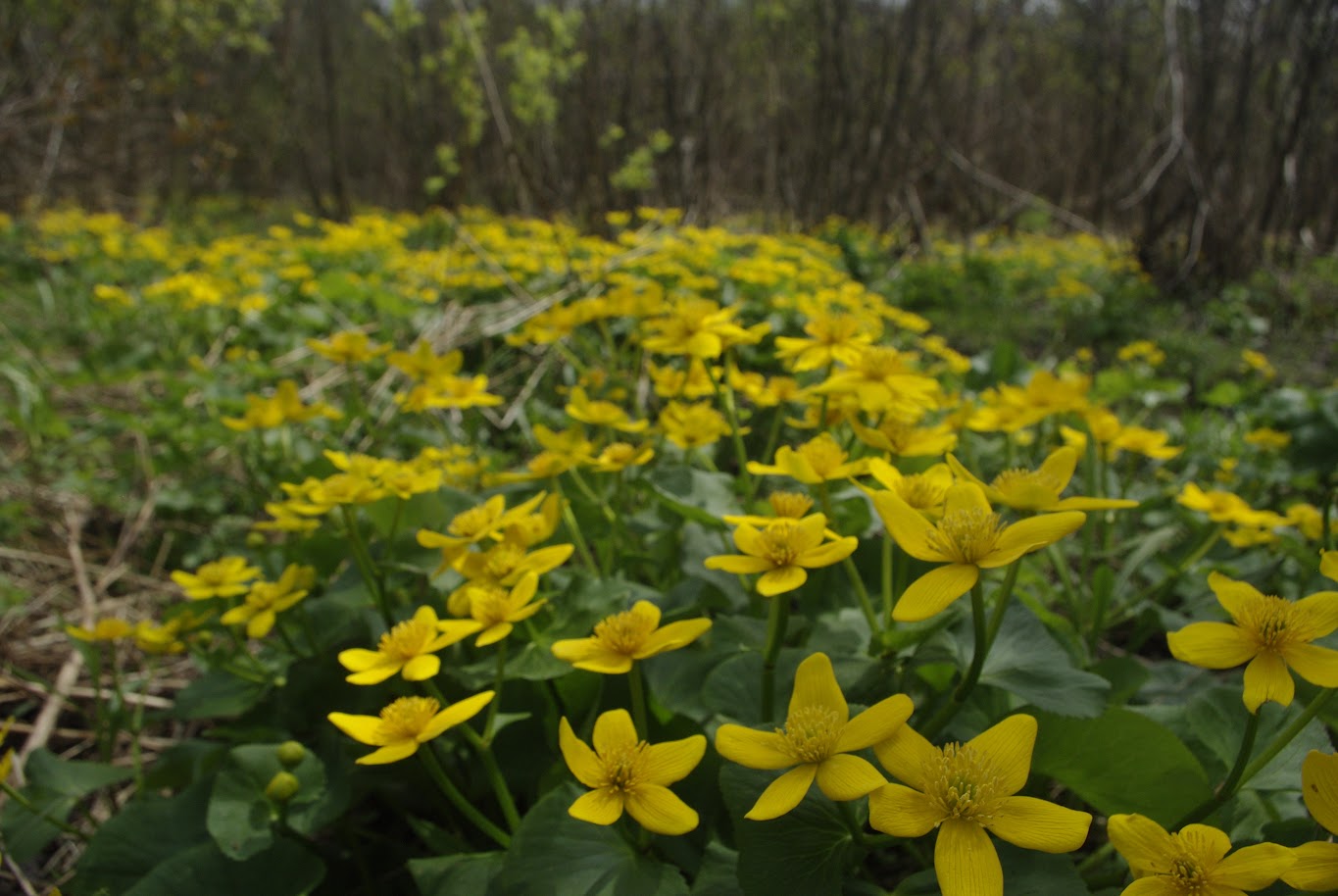
Wetlands are where land and water meet. They are commonly called marshes, swamps, and bogs. Class II wetlands and their 50-foot buffer zones are regulated in Vermont because of the functions they provide, like flood water storage, water quality protection, and wildlife habitat. The location of wetlands is hard to identify because their hydrology and vegetation can change
throughout the seasons. While the State has been working to update the Vermont Significant Wetlands Inventory (VSWI), many protected wetlands
remain unmapped.
Activity in a state-protected wetland or its associated 50-foot buffer zone is prohibited unless the activity is considered exempt, is an allowed use under the Vermont Wetland Rules, or is authorized by a wetland permit.
However, not all projects can receive a state wetland permit. Before you start planning, check for wetlands on or near your property.
- Check to identify if there is a wetland on property you are looking to purchase and develop. There are several ways that you can check for wetlands:
- Wetland Screening Tool: use this tool for the easiest and recommended way to see if a property has wetlands or to know if your plan may be affected by wetland laws.
- Identify wetlands on the ground: refer to our What is a Wetland? page with information on how to identify a wetland. Our Landowner’s Guide to Wetlands is a handy guide that includes a checklist to help spot a potential wetland or buffer zone on the ground.
- Check for Wetlands Before You Buy or Build educational campaign.
Visit the Wetlands Program website. Read frequently asked questions about wetlands.
Please note: by Vermont law, landowners and/or contractors are not allowed to disturb ground within 50 feet of an identified wetland without a wetland permit.
EMERGENCY PLANNING
Basic Emergency Operation Plans – Ongoing – external page
The Hardwick Plan – 2026 (Newest version of the Local Emergency Management Plan or the Basic Emergency Operations Plan)
The Volunteer Amendment to the Hardwick Plan – 2025
Local Hazard Mitigation Plan – 2023
EAP for East Long Pond/Nichols Pond/Mackville Pond – 2012
EAP for Mackville Pond Dam – 2016
EAST HARDWICK
East Hardwick Walk and Bike Safety Improvement concepts from Local Motion – 2022
East Hardwick Walkability Audit from the Hardwick Planning Commission – 2022
East Hardwick LVRT Trailhead Scoping Study – 2022
East Hardwick Designated Village Center Map – 2018
East Hardwick Fire District #1 – 2024 Source Protection Plan Update – 2024
Better Connections Final Report – 4-30-25 ~ Adopted in June 2025 by the Hardwick Select Board as an Addendum to the Hardwick Municipal Plan
Better Connections: Appendix 1 – List of Funding Sources
Better Connections: Appendix 2 – Market Study
Better Connections: Appendix 3 – Report on Community Outreach
Better Connections: Appendix 4 – Scoping Study for the LVRT Trailhead
Better Connections: Appendix 5 – Final Stormwater Treatment Report
Unified Development Bylaws – Also Known as the Zoning Regulations
Flood Safety Act Presentation on June 18, 2025 for the Community
Link to hearing recording: https://hctv.us/public-hearing-on-east-hardwick-zoning-bylaws-december-9-2025/
FAQs for the River Corridor Overlay
APPLICATIONS
HELPFUL REFERENCES
2025 Local Wastewater and Potable Water Designers
2025 Local Surveyors and Wetland Professionals
Factsheet about Renovations and Demolitions
Demolition and Renovation Activities information sheet
Low Risk Site Handbook for Erosion Prevention and Sediment Control – 2020
Vermont Residential Building Energy Code Handbook – 2024
Absorb the Storm: Create a Rain-friendly Yard and Neighborhood – 2010
The wetland screening tool was developed to help you navigate all the mapping layers which indicate a property may have wetlands on it. In addition to the Vermont Wetland Inventory Maps, the tool also screens for nearby hydric soils, wetland projects, wetland permits, wetland natural community types, and wetland advisory layers. To get started, all you need is the 911 address or the SPAN number for an undeveloped property. It is the best means of gaining a comprehensive view of potential wetlands on a property short of a site visit by a wetland professional, and understanding the layers you are looking at.
To request a site visit or a project review, please fill out this form. The form will be automatically emailed to your District Wetlands Ecologist for their processing. Please be patient for a response as they are typically in the field two days a week during the growing season.
ZONING APPLICATIONS
Hardwick Zoning Application for Permitted Use
For any permitted use outside of the Flood Hazard Area Overlay. This permit covers new construction, additions, or any other item which is permitted in your zoning district.
Hardwick Zoning Application for Subdivision
For any Subdivision Review Request. If you wish to subdivide your land, then this permit is for you.
Hardwick Agricultural Structural Exemption Notification
For Agricultural Exemptions Requests. Per Section 7.2 B; accepted agricultural and best management practices, including farm structures, are exempted from the permit requirements. However, written notification including a sketch plan of the structure showing setback distances from road rights-of-way, property lines, and surface waters shall be made to the Zoning Administrator prior to any construction. This document can be used to notify the ZA. Filing fee for this notification is $15 (recording fee). Please note that this exemption does not cover employee housing on a farm.
Hardwick Zoning Application for Signs
Specifically for a sign request. Calculation of Sign Area
Hardwick Demolition of Structures Notification
Notify us when you plan to demolish a structure. This notification has a $15 recording fee.
State of Vermont Asbestos Regulations – Demolition Requirements
Per Section 9.1 of the Vermont Regulations for Asbestos Control:
1. Inspection Requirement
- Before any demolition (full or partial) in Vermont, an inspection for asbestos-containing materials must be performed by a Vermont-licensed Asbestos Consulting Company.
- If asbestos is found, it must be removed by a Vermont-licensed Asbestos Abatement Company.
2. Demolition Notification Requirement
- Regardless of whether asbestos is found, a Notification of Demolition must be filed with the Vermont Department of Health at least 10 days prior to demolition.
- The notification must include the asbestos inspection results.
- These requirements apply to all buildings, regardless of age, type of construction, or demolition method.
3. Unsafe Structure Protocol
- If a building is unsafe to inspect or abate prior to demolition, the entire structure is presumed to contain asbestos.
- It must be demolished and disposed of as a permitted asbestos abatement project.
Resources
- Vermont Asbestos and Lead Licensing Portal
- Search for Vermont-licensed asbestos inspectors and abatement companies.
- Search by:
- Type: Company or RRPM Firm
- License Type: Asbestos Consulting Company
- Vermont Asbestos and Lead Licensing Portal
- Or https://vtalrp.imagetrendlicense.com/lms/public/portal#/lookup
- Vermont Building Demolition Notification Form
- Submit your required 10-day demolition notification online.
- You must attach your asbestos inspection results to the form.
- Vermont Building Demolition Notification Form
- Or https://survey.alchemer.com/s3/7079735/Vermont-Demolition-Notification
*DEC has created an online Permit Navigator to help answer state environmental permit questions. Permit Navigator | Department of Environmental Conservation (vermont.gov)
CONDITIONAL USE OR VARIANCE APPLICATIONS
Hardwick Zoning Application for Conditional Use
Specifically for Conditional Use or Variance. If you will need to visit the Development Review Board, then this permit is for you.
Hardwick Special Event – Conditional Use Application
DRIVEWAY PERMIT
Driveway Construction Approval Application
FLOOD HAZARD AREA OVERLAY DISTRICT APPLICATIONS
DEC has created an online Permit Navigator to help answer state environmental permit questions. Permit Navigator | Department of Environmental Conservation (vermont.gov)
Hardwick Zoning Application for Flood Hazard Administrative Permit
Specifically created for development in the Flood Hazard Area Overlay which would not require a zoning permit in other Zoning Districts. Examples include exterior and interior improvements, new parking areas, new or replacement fuel storage tanks for existing structures.
Hardwick Zoning Application for Flood Hazard Permitted Use
This application can be used for accessory structures (under 500 feet) in the Flood Hazard Area.
Hardwick Zoning Application for Conditional Use
Most activities in the Flood Hazard Area require a review from the Vermont Floodplain Manager and a Conditional Use review with the Development Review Board. Examples include new structures (even accessory structures over 500 square feet), substantial improvements to existing structures, grading, excavation, and road improvements.